WV Flood Tool
The West Virginia Flood Tool is designed to provide floodplain managers,
insurance agents, developers, real estate agents, local planners and citizens with an effective
means by which to make informed decisions about the degree of flood risk for a specific area or
property.
Data displayed on the WV Flood Tool are directly sourced from FEMA's National Flood Hazard
Layers. Remember: if in doubt, it's not out!
Includes the best available flood mapping data from FEMA and other approved sources and incorporates maps/background and reference layers (aerial photos, roads, elevation contours, addresses, parcels, stream names, etc.) from federal, state, local, and commercial sources. The WV Flood Tool operates on both desktop computers and mobile phones.

Overlay reference layers consist of vector framework layers. Important layers for property identification are tax parcels, E-911 addresses, geographic names, and community boundaries. Detailed parcel assessment web reports display building information for all primary and secondary structures located in a single parcel. The WV Property Search Tool is a companion application of the WV Flood Tool that allows users to perform advanced search and filter queries on all property assessment records. Other reference layers include the WVDOT roads, hydrography, watersheds, and elevation contours. Reference layers are generalized and more detailed at zoomed-out and zoomed-in scales, respectively, with all layers displayed at the largest zoom-in scale of 1:282. Elevation contour intervals at the highest zoom levels vary from 10 ft. to 1 ft.
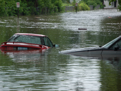
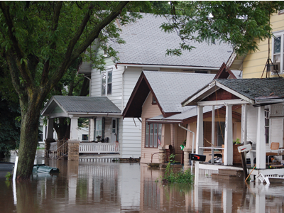
Flood layers encompass information about flood hazards and mitigating flood risks. The Flood Tool displays the primary National Flood Hazard Layers (NFHL) on FEMA Flood Insurance Rate Maps (FIRM). High-Risk Advisory Zones (Advisory A, Updated AE, and Preliminary NFHL – orange colored zones) are non-regulatory flood zones and not shown on the FIRM; however, future FEMA Flood Studies most likely will incorporate these advisory zones on the official FIRM. Other map layers for floodplain management and hazard reduction efforts include mitigated buyout properties, elevation certificates, positionally-verified LOMAs, and high-water marks. In the RISK MAP View, building-level risk assessments are displayed for a 100-year flood.
(System Administration and Data Integrator)
Includes the best available flood mapping data from FEMA and other approved
sources and incorporates the best available base maps/background and reference layers (aerial
photos, roads, elevation contours, addresses, stream names, etc.) from commercial and
local data sources.
The WV Flood tool consumes web map services from other state agencies
(such as WV DOT roads and WV DEP imagery) and operates on both desktop computers and
smart phones.
The WV Flood Tool has three customized map views: Public, Expert, and Risk MAP.
Overlay reference layers consist of vector framework layers such as transportation, hydrography, elevation contours, geographic names, watersheds, parcels, mitigated properties, boundaries, and addresses. Reference layers are generalized and more detailed at zoomed-out and zoomed-in scales, respectively, with all layers displayed at the largest zoom-in scale of 1:282.
Flood layers encompass information about flood hazards and mitigating flood risks. The flood layers include the best available digital flood data from the FEMA Map Service Center. Certain flood layers (flood profiles, water surface elevation, water depth, x-sections, FEMA panel index, floodways, etc.) are only viewable in the Expert View.